
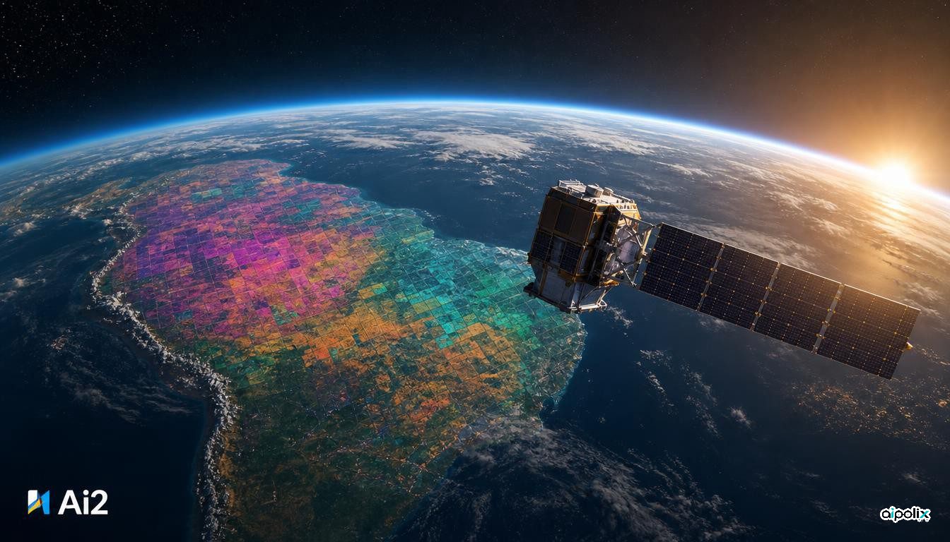
The Allen Institute for AI, known as Ai2, wants satellite analysis to stop requiring a GPU cluster. On October 22 it released OlmoEarth v1.3, an embedding model for Earth observation, together with precomputed yearly embeddings covering the planet and a browser tool called the OlmoEarth Embeddings Explorer that works without an account. The model weights, training data and pretraining code are all released openly, under the OlmoEarth Artifact License that also covered earlier versions.
An embedding here is a compact numerical description of a place. OlmoEarth v1.3 reads a full year of radar imagery from Sentinel-1 and optical imagery from Sentinel-2 and Landsat, then outputs a 128-dimensional vector for each 10-meter square of land; the first 64 numbers can be used alone as a lighter version. Under the hood, a vision transformer processes the imagery, an attention pooling step condenses it per patch, and a final linear layer shrinks it to 128 values. With those vectors in hand, building a crop map or a land-cover map becomes a matter of training a small classifier and running it on an ordinary computer, Ai2 says, instead of fine-tuning a large model for every task.
Ai2 benchmarked the embeddings against Google DeepMind's AlphaEarth Foundations and Tessera v2 on 27 evaluations spanning six continents. The 128-dimension version scored best on 20 of them and ranked first overall, while the 64-dimension version led on 18. The institute also introduced PLANTEUR, a new benchmark for crop types in tropical farming, and reports that its embeddings transfer best to regions a classifier has never seen. These are Ai2's own results, set out in a technical report.
Training efficiency improved too. Ai2 says v1.3 used 53% of the compute of v1.2 and 18% of the original release, and estimates that reproducing the final pretraining run of the Base model would cost roughly $2,720 in rented H100 time. It adds that fine-tuning performance matches v1.2.
The released archive totals about 150 terabytes per year. At launch, 2023 through 2025 are global, while 2017 to 2022 cover only selected countries. Each 20-kilometer tile ships with provenance tables listing the exact Sentinel and Landsat scenes used. In the explorer, users can compare years, find look-alike locations, or label a few points, train a quick classifier and export a GeoTIFF. Ai2's showcase traces illegal gold mining near Peru's Tambopata reserve, where embedding changes reflect both the 2019 crackdown and later activity.
The release lands on the same day Google DeepMind published a forest-type map built on its own AlphaEarth embeddings, a sign of how quickly planetary embeddings are becoming shared infrastructure for climate and land-use work. The comparison claims have not yet been reproduced by outside groups, and historical coverage before 2023 remains partial.