
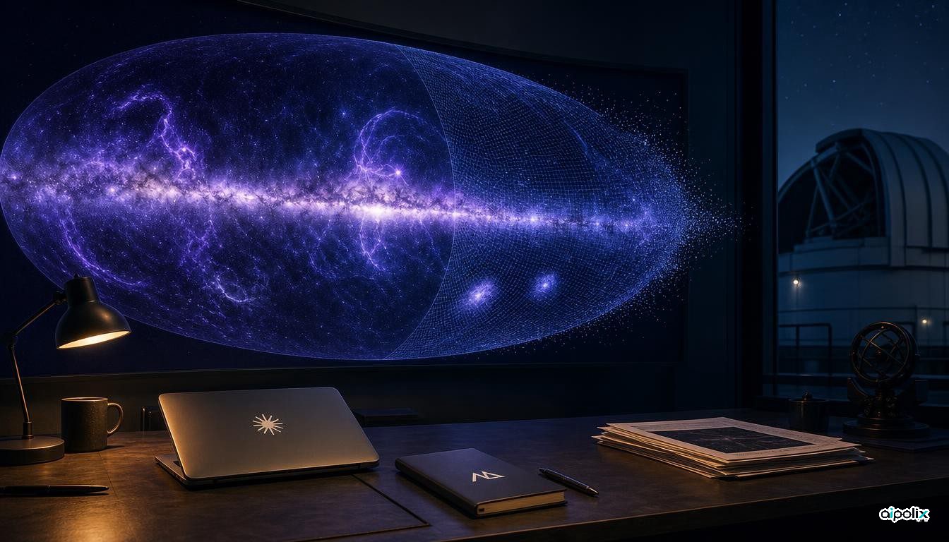
An all-sky map in ultraviolet light, long missing from the set of standard views astronomers use in teaching, has been assembled with heavy help from AI agents. Brice Ménard, an astrophysicist at Johns Hopkins University who is also a researcher at Anthropic, described the project in a post published by Anthropic on October 8. He says he directed Claude Science, the company's research workbench, while a team of agents did most of the data work.
The gap existed for physical reasons. Earth's ozone layer absorbs UV light, so the sky can only be surveyed in this band from space. NASA's GALEX mission, which operated from 2003 to 2013, covered about two-thirds of the sky across roughly 38,000 observations, but it avoided very bright regions, including much of the Milky Way's plane, to protect its detectors. Data from NASA's Swift, South Korea's FIMS/SPEAR and the European TD-1 satellite add coverage, yet holes remain. Filling them by hand requires weeks of pixel-level calibration, the kind of task Ménard says researchers keep postponing.
According to the post, the agents located public UV surveys online, downloaded them, and made each one internally consistent, including removing glare around bright stars. They then cross-calibrated the surveys, resampled them to a common resolution and coordinate grid, and merged them. For the roughly one-third of the sky with no UV data, the system used inpainting, a machine-learning technique for restoring missing parts of an image, combined with the relationship it learned between UV brightness and observations at visible, infrared and radio wavelengths. A final layer adds UV estimates for more than 100 million stars inferred from ESA's Gaia visible-light measurements.
Ménard reports a simple accuracy test. Parts of already observed regions were hidden and the model was asked to reconstruct them; after several refinement rounds, its estimates came within about 10 percent of the real measurements. The published map includes layers that flag each pixel as measured or predicted and give uncertainty estimates.
The process was not flawless. Ménard noticed faint circular patterns in dim fields, the footprints of individual GALEX pointings caused by leftover atmospheric glow. Claude had listed the issue as a known risk at the start, and the map had still passed two rounds of review by other agents. After he flagged it, the agents corrected the glow across all 38,000 observations in a few hours of processing. More than a dozen versions of the map were produced over several days.
The result is framed mainly as an educational resource: it shows dust lit by young stars, loops traced by bubbles from stellar explosions, faint filaments far from the galactic plane, and the Magellanic Clouds. Its broader interest is as a worked example of agents handling the calibration-heavy groundwork that scientists rarely have time for.
Some caution is warranted. The account comes from an Anthropic-affiliated researcher on Anthropic's own site, it is not a peer-reviewed paper, and about a third of the map is model prediction rather than measurement. How well the predicted regions hold up against future UV observations remains untested.